Blue Science NavTech
Home/Blue Science NavTech
Blue Science NavTech - Navigation & Satellite Intelligence Solutions
Blue Science NavTech provides advanced navigation, mapping, and geospatial intelligence solutions that empower industries with unmatched accuracy and efficiency.
From maritime navigation and fleet management to satellite-based surveillance and GIS analytics, our technologies ensure reliable, data-driven decision-making and seamless global connectivity.
Our Mission
To provide intelligent navigation and satellite solutions that enhance global connectivity, optimize operations, and support a smarter, safer, and more sustainable world.
Core Services & Capabilities
Satellite Positioning Systems (GNSS / GPS)
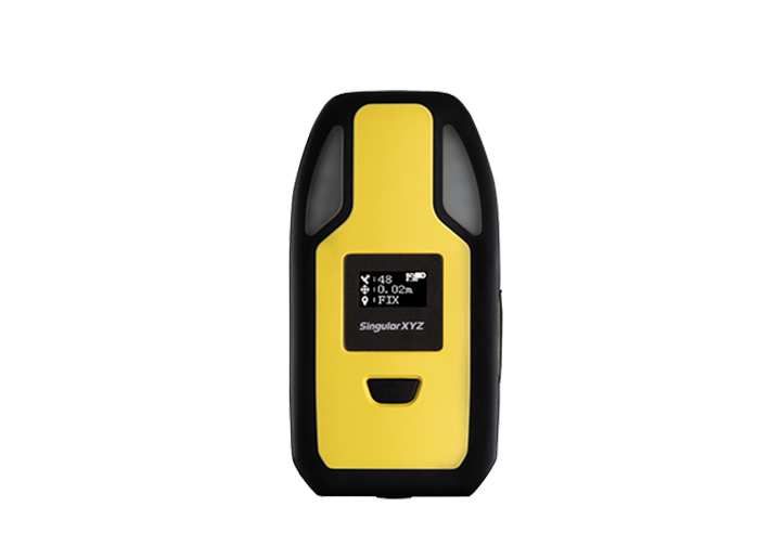
Blue Science NavTech offers high-precision global navigation systems to deliver accurate positioning, timing, and tracking.
Our GNSS and GPS solutions are designed for industrial, commercial, and research applications, ensuring reliability even in remote or challenging environments.
Key Features:
Real-time, centimeter-level accuracy
Multi-constellation support (GPS, GLONASS, Galileo, BeiDou)
Continuous signal reliability
Seamless integration with other navigation systems

Fleet & Logistics Tracking Solutions
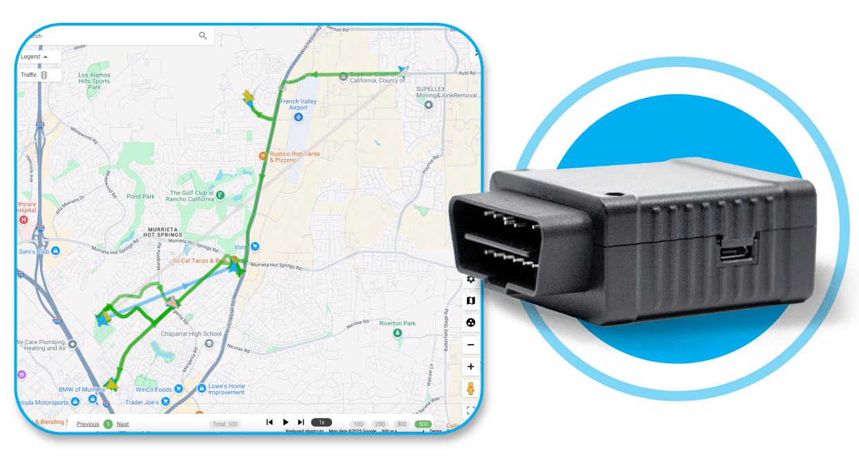
Optimize your fleet operations with real-time monitoring, route optimization, and predictive analytics.
NavTech’s tracking solutions help reduce fuel costs, improve safety, and increase efficiency for logistics, transportation, and delivery networks.
Capabilities:
Live vehicle tracking and geofencing
Predictive maintenance alerts
Historical route analysis
Automated reporting dashboards


Maritime & Aviation Navigation Networks
NavTech provides robust navigation systems for ships and aircraft, supporting safe and efficient travel across the globe.
From maritime route planning to aviation flight management, our systems ensure accurate positioning, collision avoidance, and regulatory compliance.
Benefits:
Enhanced safety through real-time monitoring
Compliance with international navigation standards
Integration with automatic identification systems (AIS)
Efficient route and fuel management

GIS Mapping & Data Integration
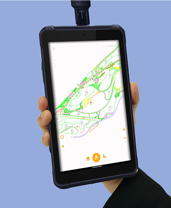
Our Geographic Information Systems (GIS) provide detailed mapping, spatial analytics, and actionable insights for urban planning, environmental monitoring, and industrial applications.
Features:
High-resolution spatial data visualization
Layered mapping for infrastructure and environmental monitoring
Real-time updates and predictive modeling
Customizable dashboards for decision-makers

Satellite Intelligence
Blue Science NavTech delivers advanced satellite-based intelligence for precise positioning, mapping, monitoring, and communication. Our solutions support industrial, commercial, and research applications that require accuracy and reliability in any environment.
Key Features
Real-time, centimeter-level accuracy
Multi-constellation support (GPS, GLONASS, Galileo, BeiDou)
High signal stability in remote or obstructed locations
Seamless integration with navigation & GIS systems
Secure, encrypted data transmission
Suitable for surveying, logistics, defense, and smart mobility